Lincoln Woods Map
RI DEM publishes one official map of Lincoln Woods State Park, and it is the best guide to the park. Olney Pond fills the centre, the Les Pawson Loop road circles it, and the woods to the north are split by Quinsnicket Road into two trail zones: Zone A to the west is for horses only, and Zone B to the east is multi-use, open to hikers and mountain bikers. The beach is on the south-west shore, the boat ramp on the east shore, and the two entrances are off Route 123 in the north-east and Twin River Road in the west.
The Map at a Glance
How to Read DEM's Map
The map is drawn north up, with a scale bar from 0 to 1,000 feet. Solid white lines are paved roads; dashed black lines are trails; numbered black dots are picnic sites. A legend in the lower right explains the symbols: bathhouse, beach, boat ramp, first aid, fishing with universal access, food, horseback riding, Little League field, office, parking, picnic shelter, playing field, picnic tables, restrooms, stable and bus stop. The fee box in the lower left lists the office phone, (401) 723-7892, the sunrise-to-sunset hours and the picnic and field fees.
The North-East Corner: Main Entrance
The main entrance comes off Great Road (Route 123) beside Barney Pond. An entrance booth sits on the entrance road, and the permit office is just outside, on the corner of Great Road. Inside the gate the map shows a game field, the Little League field and picnic shelters A and B near picnic sites 1 to 9. Pulpit Rock is marked here, just south of shelter A.
Zone A: Horses Only
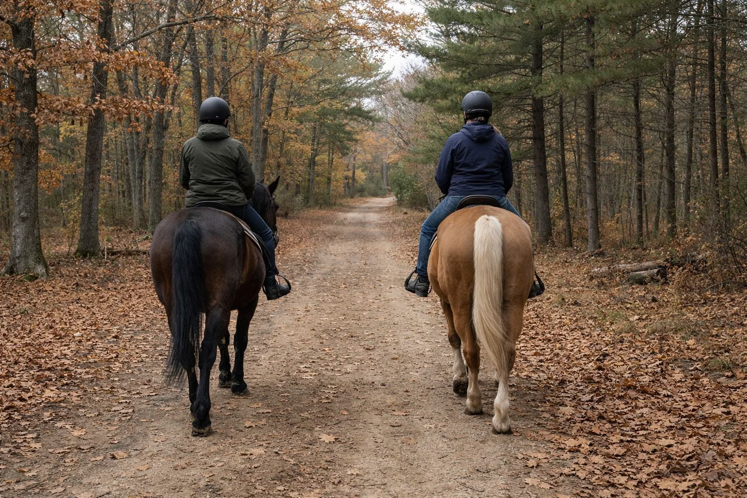
West of Quinsnicket Road, in the north-west of the park, is Zone A. DEM's park page says the horse trails in Zone A are for equestrian use only. The map shows loops of dashed trail through it, a horseback riding symbol, and the stable on the western edge near Twin River Road. Zachariah Allen Spring is marked here, named for the inventor whose 1820 tree-planting woodlot, DEM's history says, became part of the park. See horseback riding.
Zone B: Multi-Use
East of Quinsnicket Road is Zone B, where DEM allows the trails to be shared by hikers, riders and mountain bikers. It covers most of the woods north of the pond, with Druid Circle, Tablerock Hill and Quinsnicket Pond at its western edge and dozens of picnic sites (10 to 42 and 59 to 80) along the park road. Most hiking starts here; see hiking.
Olney Pond and the Loop Road
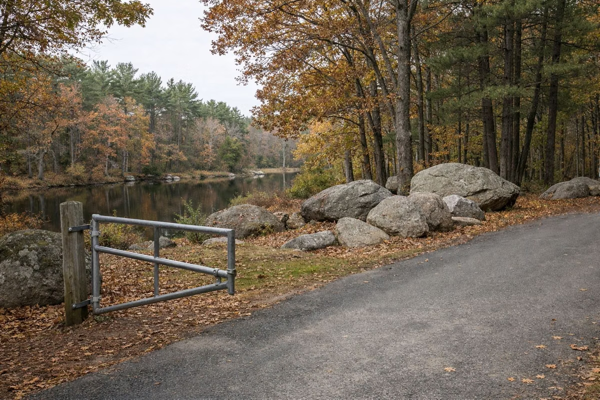
The Les Pawson Loop circles Olney Pond. On the east shore the map shows the boat ramp and its parking, and north of it a fishing symbol with the universal-access mark. Small islands and coves break up the pond's shoreline. See Olney Pond and the Les Pawson Loop.
The Beach End
At the south-west end of the pond, the map groups a beach, bathhouse, food stand, first aid and restrooms, with two parking lots, picnic site 76A and Field E beside them. This is Frank Moody State Beach.
The West Side: Chimney Grove and the Second Entrance
Where Twin River Road comes in from Route 146, the map shows a second entrance booth at Chimney Grove, with picnic sites 43 to 58 close by.
The Edges of the Park
Breakneck Hill Road and Great Road (Route 123) bound the park to the north, Route 146 to the west, Stump Hill Road to the east and Cobble Hill Road to the south. A RIPTA bus stop on Louisquisset Pike (Route 246) connects by a footpath under the highway. A small private lot inside the eastern boundary is marked "Private Lot"; it is not park parking.
What the Map Does Not Show
DEM's map does not name individual trails or give their lengths, and this site does not invent them. DEM's history gives six miles of horse trails and three miles of snowmobile routes. The map shows no trail blazes, so carry a copy, and match your picnic permit number to the dots.
Getting the Map
Download it from DEM's Lincoln Woods page or ask at the permit office by the main entrance. A phone photo of the map works well on the trail.
Lincoln Woods Map FAQ
Is there a trail map for Lincoln Woods State Park?
Yes. RI DEM publishes an official park map (PDF) on its Lincoln Woods page. It shows the roads, trails, Zone A and Zone B, picnic site numbers, the beach, boat ramp, stable and both entrances.
What are Zone A and Zone B at Lincoln Woods?
DEM splits the trails at Quinsnicket Road. Zone A, to the west, is for horses only. Zone B, to the east, is multi-use and open to mountain biking.
Does the Lincoln Woods map show trail lengths?
No. DEM's map does not name trails or give their lengths. DEM's history gives the park six miles of horse trails and three miles of snowmobile routes.
Where is the beach on the Lincoln Woods map?
At the south-west end of Olney Pond, with a bathhouse, food stand, first aid, restrooms and two parking lots.