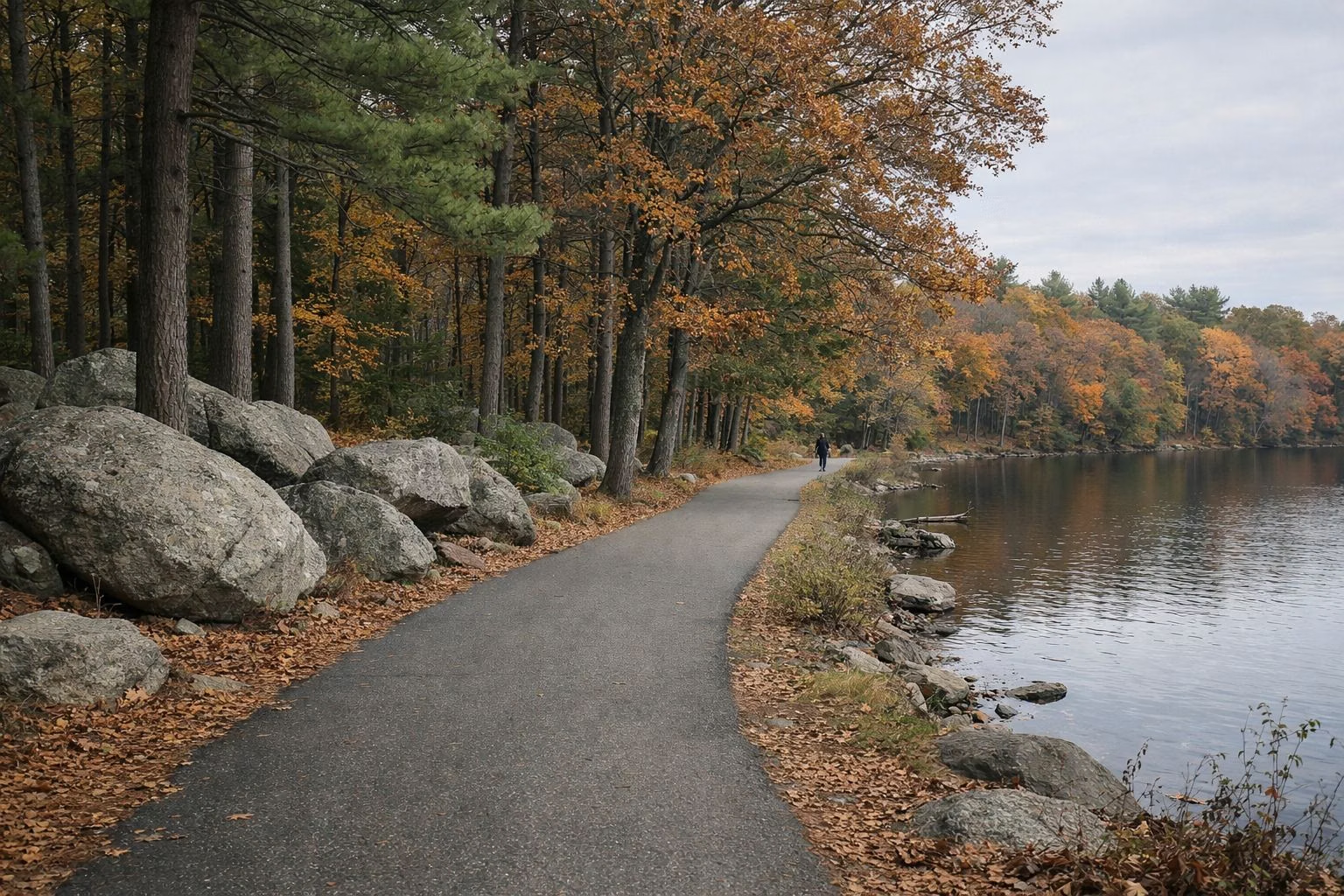
Les Pawson Loop
The Les Pawson Loop is the paved road that circles Olney Pond inside Lincoln Woods State Park. Rhode Island's state park rules name it and make it one-way for cars, counter-clockwise, with two exceptions, and RI DEM's history describes it as the circumferential road favoured by walkers and bicycle riders. It is the park's easiest walk or ride: paved, mostly within sight of the water, and open from sunrise to sunset.
The Loop at a Glance
The Traffic Rule
State regulation 250-RICR-100-00-8, section 8.16, says the Les Pawson Loop in Lincoln Woods has a one-way, counter-clockwise traffic pattern, with two exceptions:
- When the gates across the road are closed, traffic on the open part is two-way.
- Between Twin River Road and the north parking lot, the road is always two-way.
In practice, drivers coming in from Route 123 go round the pond with the water on their left, and people on foot or bikes may meet cars coming one way only on most of the loop. Watch for the two-way stretch near the Twin River Road entrance.
Walking and Running the Loop
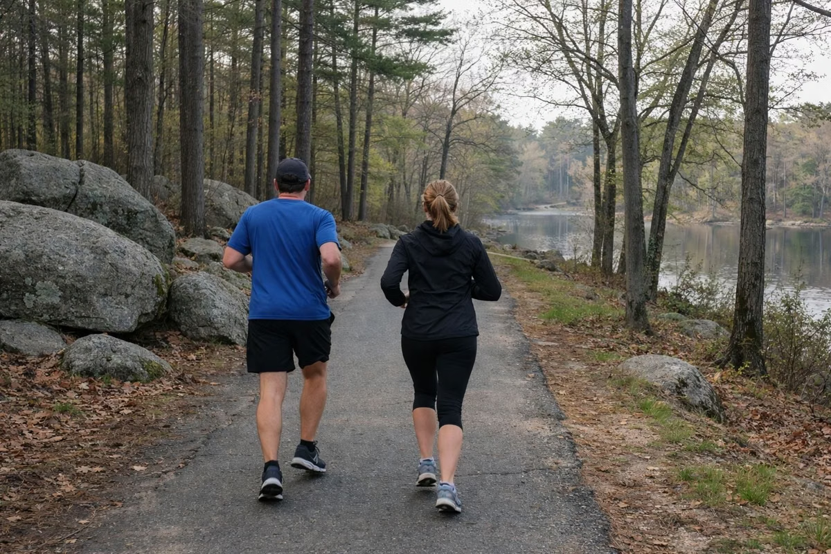
DEM lists jogging and road races among the park's experiences, and the loop is where most of them happen. Being paved, it suits strollers, wheelchairs and new runners better than the rocky trails. Keep to the edge, run against car traffic where you can see it, and remember cars share the road whenever the gates are open.
Cycling the Loop
Bikes, e-bikes and scooters are allowed in state parks unless DEM's regional manager finds conditions unsafe and posts an order against them. The loop is the place for road bikes and children's bikes; mountain bikes can also head into the multi-use trails of Zone B. Ride with the one-way traffic, counter-clockwise.
How Long Is the Loop?
DEM does not publish a length for the Les Pawson Loop, and this site does not quote unsourced figures. The park map has a 1,000-foot scale bar if you want to judge for yourself.
What You Pass
Going counter-clockwise from the main entrance, DEM's map shows the road running past the game field and picnic shelters near the gate, along the east shore past the boat ramp and the accessible fishing area, round the south end to the beach, bathhouse and the two beach lots, and back north past Chimney Grove and the Twin River Road entrance to the picnic groves above the pond. The Olney Pond page and the beach guide cover the stops.
Winter on the Loop
DEM allows snowmobiles on the roadways at Lincoln Woods, and the park stays open all winter. If you walk the loop in snow, watch for them and for ice.
Plan the Visit
Parking is free in the lots round the loop; the parking guide lists them. Restrooms are open May 1 to October 31 at the beach end. The park closes at sunset.
Les Pawson Loop FAQ
What is the Les Pawson Loop?
It is the paved road that circles Olney Pond in Lincoln Woods State Park. State rules make it one-way counter-clockwise for cars, and walkers, runners and cyclists share it.
How long is the Les Pawson Loop?
RI DEM does not publish a length for the loop. Its park map has a 1,000-foot scale bar if you want to estimate it yourself.
Can you bike the Les Pawson Loop?
Yes. Bikes are allowed unless DEM posts an order closing the park to them. Ride counter-clockwise with the one-way car traffic.
Is the Les Pawson Loop one-way?
For cars, yes: counter-clockwise, except between Twin River Road and the north parking lot, and whenever the gates across the road are closed, when traffic is two-way.