Blackstone River Bikeway
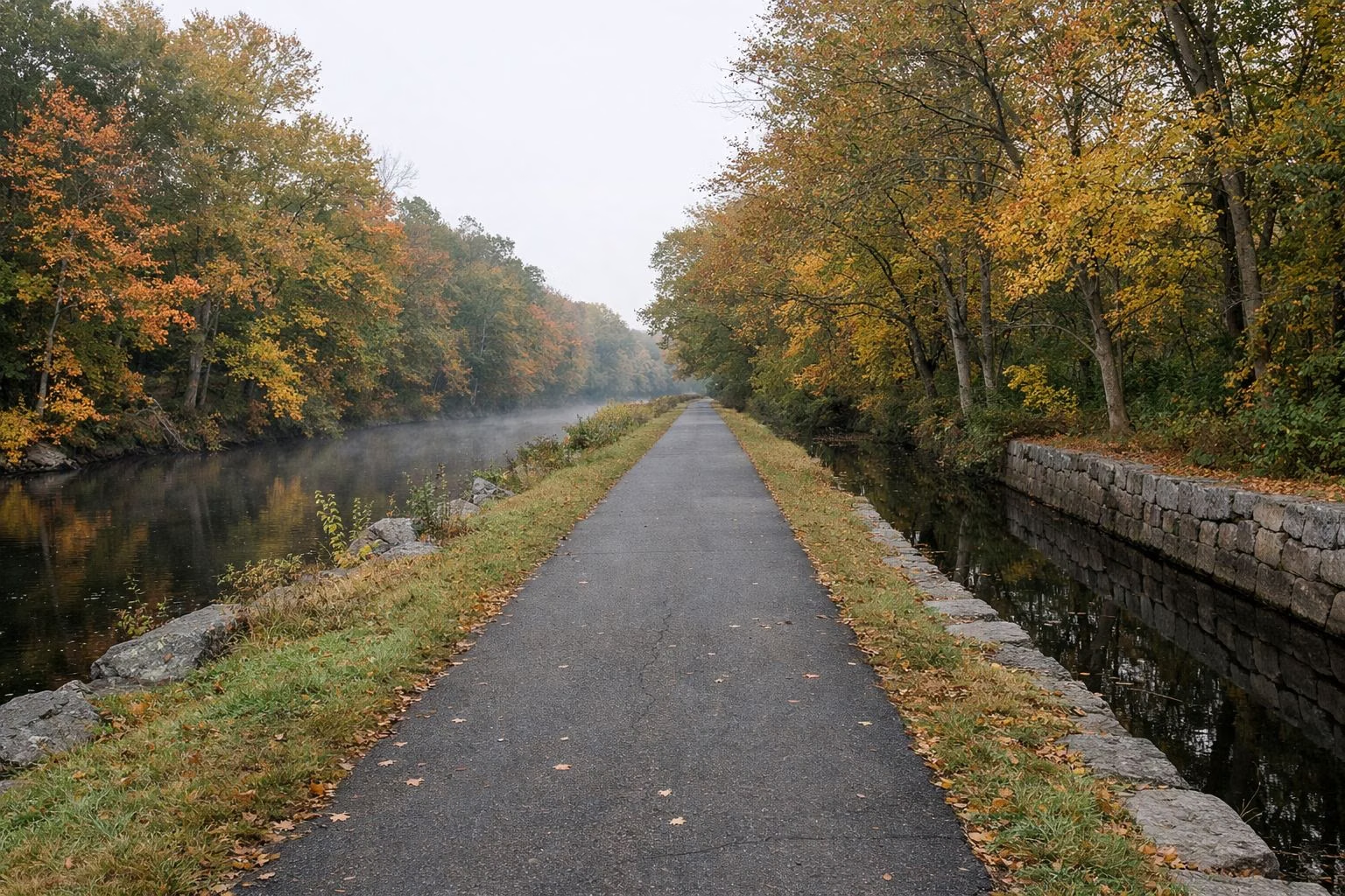
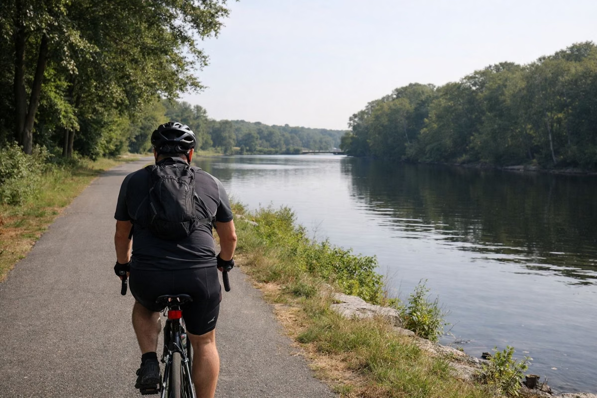
The Blackstone River Bikeway is Rhode Island's second-longest bike path. RIDOT gives it 18.2 miles in all, including 11.6 miles of off-road path between Cumberland and Woonsocket, most of it through Blackstone River State Park, a linear park RI DEM runs along both banks of the river through Lincoln. The path follows the river and the towpath of the historic Blackstone Canal past mill dams, marshes and the Captain Wilbur Kelly House museum, and it is free to use, with public lots along the way in Lincoln.
The Bikeway at a Glance
Blackstone River State Park
DEM describes Blackstone River State Park as a linear park on alternating banks of the Blackstone River, running about 12 miles from Valley Falls in Cumberland to Hamlet Village in Woonsocket, with the bike path as its main feature. The bikeway was built by RIDOT and is managed by DEM. DEM's history says the canal towpath runs nearly four miles north from Old Lonsdale in Lincoln to the Kelly House at Old Ashton before the path crosses the river. Along the way riders may see great blue herons, cormorants, the occasional osprey, deer, foxes and turtles.
The Route Through Lincoln
RIDOT walks the off-road path from south to north:
- Lonsdale marsh: a 540-foot elevated boardwalk near Cumberland Town Hall and Valley Falls Park starts the off-road path.
- Route 123 (John Street): the path crosses into the site of the former Lonsdale Drive-In, partly returned to wetland for flood control and habitat.
- Pratt Dam: the path crosses the large dam and its spillway.
- The canal towpath: the original 1998 segment, with the Blackstone Canal on the left and the river on the right.
- Berkeley-Martin Bridge: rebuilt in 2007, so riders now pass under busy Martin Street.
- Kelly House and the Ashton Viaduct: the path crosses the river to the right bank.
- Albion and Manville: an iron bridge in Albion village and views of the Albion and Manville dams, before the off-road path ends at River's Edge Park in Woonsocket.
Where to Park in Lincoln
RIDOT lists these public lots along the bikeway in Lincoln: Blackstone River State Park on Front Street; the former Lonsdale Drive-In on John Street; the Captain Wilbur Kelly House on Lower River Road; the I-295 Visitor Center; the Route 116 (George Washington Highway) lot; School Street in Albion; and River Road in Manville. There is also a lot on Front Street, Cumberland.
The Captain Wilbur Kelly House
DEM's history tells the story of Captain Wilbur Kelly (1782–1846), a sea captain for the Providence firm Brown and Ives who turned to textiles and built this house at Old Ashton in 1835 as the superintendent's cottage for a mill. The state bought the house and its 17-acre farm, Ashton Meadows, in 1986, and it now holds a museum of the canal and transportation story. The Blackstone River Watershed Council, at 1075 Lower River Road, Lincoln, lists it as a put-in for paddlers, with about 2.5 miles of river to Pratt Dam.
How the Park Came to Be
DEM credits a Lincoln couple, Ruth and Henry Tetreault, who in 1965 founded C.A.N.A.L. (the Committee for the Advancement of Natural Areas in Lincoln) to save the canal and towpath. Their campaign fed Project ZAP the Blackstone in 1972, when DEM says 10,000 volunteers pulled 10,000 tons of debris from the river in a weekend. Lincoln had a town park by 1983, the state bought the Kelly property in 1986, and RIDOT opened the first bikeway segment in 1998.
Riding South to Providence
South of the boardwalk, RIDOT routes the bikeway on local roads through Central Falls, Pawtucket and the East Side of Providence, marked with "sharrows", and recommends that stretch for experienced on-road cyclists only. It reaches India Point Park, where it connects to the East Bay Bike Path.
Maintenance and Reporting
Report graffiti, trash or other problems to RI DEM's Division of Parks and Recreation at (401) 667-6200.
Combine It With Lincoln Woods
Lincoln Woods State Park is a short drive west on Route 123. Ride the towpath in the morning and swim at Olney Pond's beach in the afternoon, or bring the bike to the paved Les Pawson Loop. For another city park nearby, see Slater Park in Pawtucket.
Blackstone River Bikeway FAQ
How long is the Blackstone River Bikeway?
RIDOT gives 18.2 miles in total, including 11.6 miles of off-road path between Cumberland and Woonsocket, with on-road links south to India Point Park in Providence.
Where do you park for the Blackstone River Bikeway in Lincoln?
RIDOT lists public lots at Blackstone River State Park on Front Street, the former Lonsdale Drive-In on John Street, the Kelly House on Lower River Road, the I-295 Visitor Center, Route 116, School Street in Albion and River Road in Manville.
What is Blackstone River State Park?
A linear state park run by RI DEM along both banks of the Blackstone River, about 12 miles from Valley Falls in Cumberland to Woonsocket. The Blackstone River Bikeway is its main feature.
Is the Blackstone River Bikeway flat?
Much of it follows the old Blackstone Canal towpath along the river. The on-road section south to Providence is recommended for experienced cyclists only.